

Málaga sea temperature drops from almost 29°C to 15.6°C in just one week: what caused the sudden change?
The Málaga Port buoy has recorded a fall of more than 13 degrees in seven days, moving from near-record warm water to the lowest August temperature in its historical series.
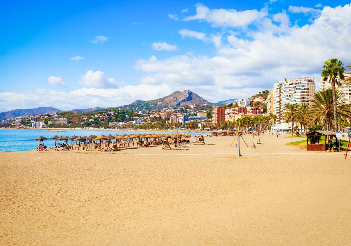

Anyone swimming off the coast of Málaga this week may have noticed a dramatic change. In just a few days, the Mediterranean has gone from feeling unusually warm to surprisingly cold for late August.
The buoy at Málaga Port recorded a sea temperature of 15.6°C on 25 August 2026. Just one week earlier, on 18 August, the water had reached 28.8°C.
That is a drop of 13.2 degrees in only seven days, an exceptional variation mainly explained by wind direction and the movement of different layers of seawater along the Málaga coastline.
From near-record warmth to the coldest August reading
The contrast becomes even more striking when compared with historical records.
The 28.8°C recorded on 18 August was only three tenths below the 29.1°C peak measured in August 2015.
One week later, the opposite extreme was reached. The 15.6°C reading fell below the previous August minimum of 16.3°C, recorded in 2014.
In other words, Málaga moved from almost matching its warmest August sea temperature to setting a new cold record for the month in the space of a single week.
Westerly winds are the main reason
Sea-surface temperatures in Málaga are strongly influenced by persistent wind direction.
When easterly winds dominate, warm surface water heated by the sun tends to build up close to the coast. If those conditions continue for several days, sea temperatures can rise significantly.
With westerly winds, the process is reversed.
The wind pushes the warmer surface layer offshore and encourages a phenomenon known as upwelling, where colder water from deeper layers rises towards the surface.
After several consecutive days of westerly winds, the effect can be dramatic: even while air temperatures remain high, the sea can suddenly feel much colder.
Does this mean the Mediterranean is no longer warming?
No. A short-term drop like this does not contradict the broader warming trend in the Mediterranean.
Changes caused by easterly and westerly winds are local and can produce large temperature swings over very short periods.
Long-term sea warming is measured using extended data series, annual averages and trends over many years, rather than by comparing a handful of individual days.
The fact that Málaga recorded 28.8°C only a week earlier shows how extreme short-term fluctuations can coexist with a broader background of rising sea temperatures.
Sea temperature can vary from one beach to another
The water will not necessarily be exactly the same temperature along the entire Costa del Sol.
Beach orientation, depth, currents, wind and the shape of the coastline can all create local differences, even between nearby stretches of shore.
For that reason, the reading from the Málaga Port buoy is an important reference point, but it does not mean every beach in the province was exactly 15.6°C at the same time.
What it does show is the scale of the change off Málaga city: in just seven days, the Mediterranean went from 28.8°C to 15.6°C, turning one of the warmest swims of the summer into one of the coldest ever recorded in August.
Updated sea-temperature readings and other oceanographic data from the Málaga buoy can be checked through the official PORTUS system operated by Puertos del Estado.

Latest news



Upcoming events
17
Sep
La Pequeña Cuba Gastro-Cultural Festival in San Pedro Alcántara 2026
18
Sep
World Wellness Weekend Marbella 2026
18
Sep
Candlelight: Queen vs. ABBA in Málaga
18
Sep
Candlelight: Coldplay and Imagine Dragons in Málaga
18
Sep
3 de Corazones – Pancho Céspedes, Enrique Ramil and José Luis Jaén in Málaga
Similar News
Four Andalusian beaches with turquoise waters that look straight out of a postcard
Málaga
Pedregalejo, the Málaga beach where the sea feels like a natural swimming pool
Málaga
Málaga sea temperature nears 29°C: water reaches exceptional levels during the August heat
Málaga