Málaga records its hottest summer since 1961 with temperatures reaching 44.6C and exceptionally warm nights
The average temperature between June and August reached 26.5C across the province, while Coín climbed to 44.6C and Torremolinos recorded a minimum of 29.4C during one of the hottest nights of the season.
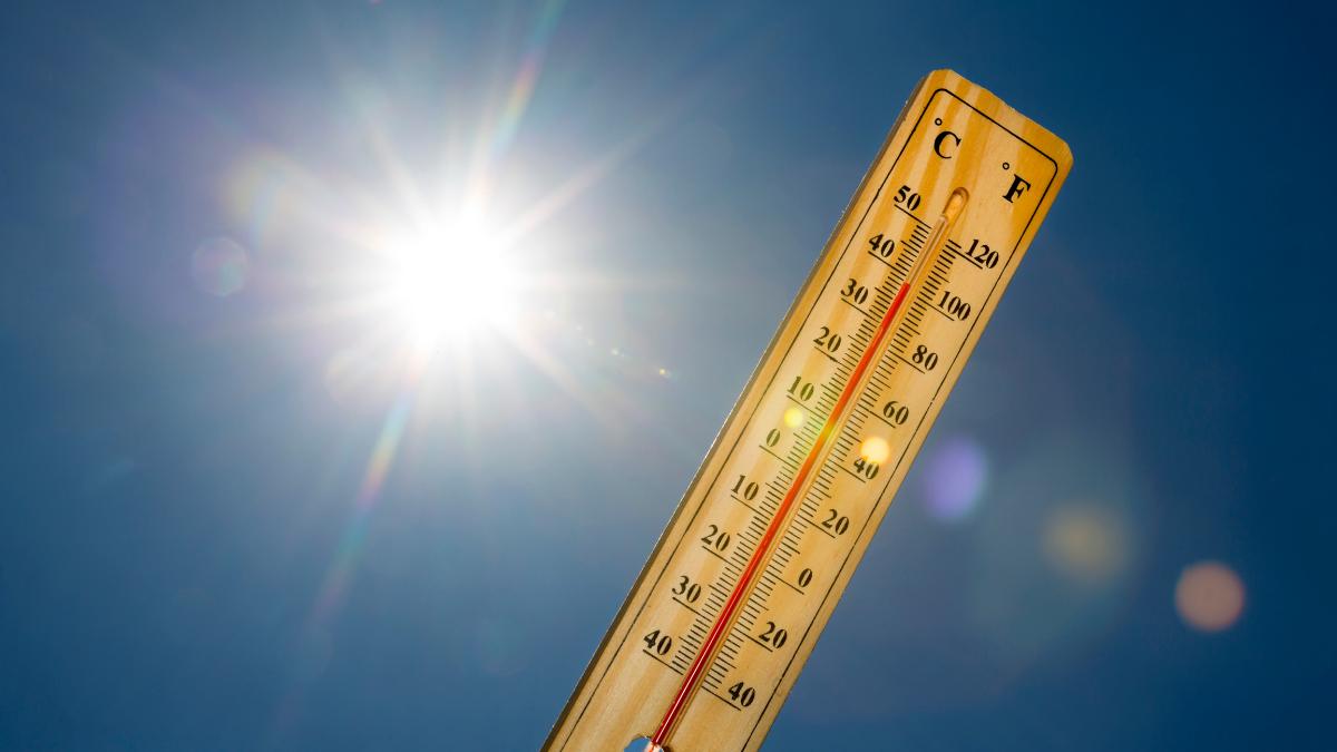

The average temperature between June and August reached 26.5C across the province, while Coín climbed to 44.6C and Torremolinos recorded a minimum of 29.4C during one of the hottest nights of the season.
The summer of 2026 has entered Málaga’s climate record books. Between June and August, the province registered an average temperature of 26.5C, making it the hottest summer recorded since 1961.
The figure was 2.1C above the reference average and reflects a season defined not only by isolated episodes of extreme heat, but by persistently high temperatures over long periods.
That is one of the most important elements in the overall picture: the record was not caused simply by a handful of days above 40C, but by sustained heat throughout much of the summer.
It was not just the extreme daytime temperatures
When an exceptionally hot summer is discussed, record-breaking daytime highs tend to attract most of the attention.
From a climate perspective, however, the average temperature across the entire season is especially significant.
In Málaga, the 26.5C average between June and August shows that the heat extended far beyond a few extreme episodes.
Very hot days, unusually warm nights and prolonged periods with little relief all contributed to the final figure.
More than two degrees above normal
The thermal anomaly for Málaga’s summer reached approximately +2.1C compared with the reference climate average.
A difference of more than two degrees across three complete months is highly significant climatologically.
It does not simply mean that a few individual days were two degrees hotter than usual.
To raise a full seasonal average by that amount, temperatures have to remain above normal for a substantial part of the summer.
Three of the last four summers have exceeded the two-degree threshold
Recent years also show a notable concentration of exceptionally warm summers.
According to the figures reported by AEMET, only two other recent summers in Málaga had previously exceeded an anomaly of more than two degrees: 2023 and 2025.
With 2026 now joining them, three of the last four summers have crossed that threshold.
The close succession of these very warm seasons is one of the most relevant aspects of Málaga’s recent climate record.
2026 was also Spain’s hottest summer on record
Málaga’s summer formed part of an extraordinary season across Spain as a whole.
AEMET confirmed that summer 2026 was the hottest recorded in mainland Spain since the official series began in 1961.
The average mainland temperature reached 24.5C, which was 2.4C above the 1991-2020 average.
The season was also 0.3C warmer than summer 2025, which had previously held the record.
AEMET has also indicated that, using historical climate reconstructions extending further back, summer 2026 may have been Spain’s warmest since at least 1869.
July played a major role
July made a particularly strong contribution to the record.
Across mainland Spain, July 2026 recorded an average temperature of 25.7C, 2.6C above normal.
Together with July 2022, it became the hottest July in AEMET’s official series.
Both months also rank among the hottest individual months ever recorded in Spain, regardless of season.
In Málaga, July also produced several of the most extreme temperatures of the summer.
Coín reached 44.6C
The Guadalhorce Valley was once again among the areas where the heat reached its highest levels.
The highest temperature of the summer in Málaga province was recorded in Coín on 23 July, when the thermometer reached 44.6C.
The municipality had already registered 44.5C on 16 July.
Repeated temperatures above 44C made Coín one of the main hotspots of extreme heat during the summer.
Why Coín can get so hot
Coín’s location helps explain some of these extreme values.
The town lies in the Guadalhorce Valley, relatively close to the coast but with a very different thermal behaviour.
Under certain westerly wind conditions, the local terral effect can cause descending air to warm and dry rapidly as it moves towards the coast.
Coín, Álora, Cártama and other parts of the Guadalhorce Valley can then record extremely high daytime temperatures.
The terral once again shaped Málaga’s summer
The terral is one of Málaga’s most characteristic weather phenomena.
It is a hot, dry wind capable of pushing temperatures sharply upwards in only a few hours.
Its effects vary considerably across the province.
While inland areas and Málaga city may rise well above 35C or even 40C, other coastal areas can remain several degrees cooler depending on wind direction.
That helps explain some of the dramatic temperature differences seen across Málaga during summer heat episodes.
Málaga Airport reached 41.7C
The Málaga Airport weather station, one of the main climate references for the city, recorded its highest temperature of the summer on 24 July.
That day, it reached 41.7C.
Available station data also underline how exceptionally warm July and August were.
The average July temperature at the airport was around 28.4C, while August was approximately 28.3C.
The heat continued after sunset
One of the most difficult aspects of summer 2026 was the persistence of high temperatures at night.
Málaga province recorded numerous nights when minimum temperatures remained above 25C.
These are commonly described as torrid nights.
The issue is particularly important because the body has less opportunity to recover from daytime heat when temperatures remain very high overnight.
Torremolinos did not fall below 29.4C
The highest minimum temperature recorded during the summer came in Torremolinos during the early hours of 3 August, when temperatures never dropped below 29.4C.
That means even at the coolest point of the night, the temperature remained close to 30C.
Sleeping in these conditions can be particularly difficult in homes without air conditioning or effective ventilation.
Málaga Airport recorded a minimum of 28.5C
Only one day later, on 4 August, Málaga Airport recorded a minimum temperature of 28.5C.
Coín had also recorded the same minimum on the night of 24 July.
These figures show that the most intense heat episodes affected both daytime highs and overnight temperatures.
The most intense days of the summer
The data highlight four particularly severe days:
23 and 24 July, and 3 and 4 August.
During these periods, exceptionally high daytime temperatures were combined with unusually warm nights.
That combination can be especially demanding because there are very few hours of thermal relief between one hot day and the next.
What exactly is a torrid night?
Several different terms are used to describe high overnight temperatures.
A tropical night generally refers to a night when the minimum temperature does not fall below 20C.
When the minimum remains above 25C, the term torrid night is often used.
In Málaga, these nights have become an increasingly important feature of recent summers.
Coastal areas can suffer more at night
Although inland areas usually record the highest daytime temperatures, coastal locations face a different problem.
The sea can moderate daytime highs, but it can also prevent temperatures from falling quickly after sunset.
Higher humidity can also increase the feeling of discomfort.
That is why places such as Málaga city, Torremolinos, Benalmádena and Fuengirola can experience particularly uncomfortable nights even when their daytime temperatures are lower than inland areas.
A warm Mediterranean can influence overnight temperatures
Sea temperatures also play an important role.
When the Mediterranean remains unusually warm during summer, its ability to cool coastal areas overnight is reduced.
The sea gradually releases the heat it has stored during the day, helping to keep nighttime temperatures elevated.
Each heat episode depends on several atmospheric factors, but warm sea temperatures can contribute to higher overnight values along the coast.
Sleeping when temperatures stay above 25C
Warm nights affect people differently from daytime heat.
During sleep, the body normally needs to lower its core temperature slightly.
When the surrounding air remains too warm, that process becomes more difficult.
Sleep can become fragmented and daytime fatigue may increase.
Older people, young children and people with certain health conditions can be especially vulnerable.
Persistent heat matters more than a single record
A single day at 44C is striking, but from a climate perspective the duration of the heat is even more important.
If one extreme day is followed by several mild ones, the overall impact can be more limited.
When high temperatures continue for weeks and nights also remain very warm, the accumulated effect becomes much greater.
That is precisely what makes summer 2026 so significant.
Spain recorded 61 days under heatwave conditions
The national context shows how persistent the heat was.
AEMET recorded 61 days under heatwave conditions in Spain during 2026, more than in any other year in the series.
Those days were spread across four heatwaves affecting mainland Spain and the Balearic Islands.
The previous record belonged to 2022, with 41 days.
The difference illustrates the exceptional duration of hot conditions during 2026.
Meteorological summer means June, July and August
When AEMET refers to summer in its climate reports, it uses the complete months of June, July and August.
This is known as meteorological or climatological summer.
It does not exactly match astronomical summer, which begins around 21 June and continues into September.
Using full calendar months makes it easier to compare one year with another.
September extended the summer feeling
Although meteorological summer ended on 31 August, the heat did not disappear.
AEMET confirmed that September 2026 was the hottest September in Spain’s official record.
The average mainland temperature reached 22.5C, 3.4C above the 1991-2020 average.
That helped extend summer-like conditions well beyond the traditional end of the season.
Autumn also began unusually warm
Málaga experienced that transition particularly clearly.
Rain returned during October, but it continued to alternate with relatively warm days.
The perception that summer is lasting longer is not driven solely by record daytime temperatures.
It is also linked to the increasing frequency of warm nights and summer-like conditions appearing outside the traditional summer months.
Málaga’s record was not confined to one town
Although Coín recorded the highest daytime temperature, the seasonal record applies across the province.
The 26.5C average includes observations from different geographical areas.
Coastal, inland and mountainous parts of Málaga behave very differently.
That is why such a high provincial average indicates widespread and persistent heat rather than a phenomenon limited to the Guadalhorce Valley.
Inland and coastal areas experience heat differently
Inland locations tend to face the highest daytime maximums.
Along the coast, meanwhile, nighttime temperatures and humidity can be more important.
An inland town may reach 43C during the afternoon and cool significantly after sunset.
A coastal municipality may stay several degrees cooler during the day but remain close to 29C overnight, meaning the sensation of heat can continue almost around the clock.
Recent records are increasingly concentrated
One of the most striking features is how recent many of these records are.
At national level, AEMET says the ten hottest summers in the official series have all occurred in the 21st century.
In Málaga, 2023, 2025 and 2026 are now among the summers with the largest positive temperature anomalies.
That clustering helps distinguish a broader trend from a single exceptional season.
From daily records to the seasonal average
Daily records generate headlines because they are easy to visualise.
A reading of 44.6C in Coín is extraordinary.
But an average temperature of 26.5C over three complete months tells a broader story.
It means the heat was not present for only a few hours, but persisted through much of the season.
The key figures from Málaga’s summer
The summer of 2026 can be summarised through several striking numbers:
- 26.5C average temperature between June and August.
- +2.1C compared with the reference average.
- 44.6C in Coín on 23 July.
- 41.7C at Málaga Airport on 24 July.
- 29.4C minimum in Torremolinos on 3 August.
- 28.5C minimum at Málaga Airport on 4 August.
- Three of the last four summers more than two degrees above the reference average.
Together, the figures describe a season characterised both by extremes and by persistent heat.
Málaga closes a summer that enters the climate record books
Summer 2026 therefore sets a new benchmark for Málaga.
Coín recorded the highest maximum at 44.6C.
Torremolinos experienced a night when the temperature barely fell to 29.4C.
And Málaga Airport exceeded 41C by day and 28C on some nights.
But above all those individual records stands one figure: an average temperature of 26.5C across the whole summer.
It is that persistence, rather than the isolated extremes alone, that makes 2026 the hottest summer recorded in Málaga since the official series began in 1961.

Latest news




Similar News

Marvel turns Málaga’s Roman Theatre and Alcazaba green for Avengers: Doomsday
Provincia de Málaga
All of Málaga province under yellow weather warning for rain and thunderstorms
Provincia de Málaga

Málaga to hold 18th Blood Donation Marathon on 22 October: times, location and how to take part
Provincia de Málaga