Serrana Route: The most thrilling Jacobean route in Andalusia that passes through Ronda
This itinerary, which is part of the network of the Camino de Santiago, passes through sites such as the natural monument of the Buitreras del Guadiaro and villages like El Colmenar, Cañada Real del Tesoro, or the stations of Benaoján and Jimera.
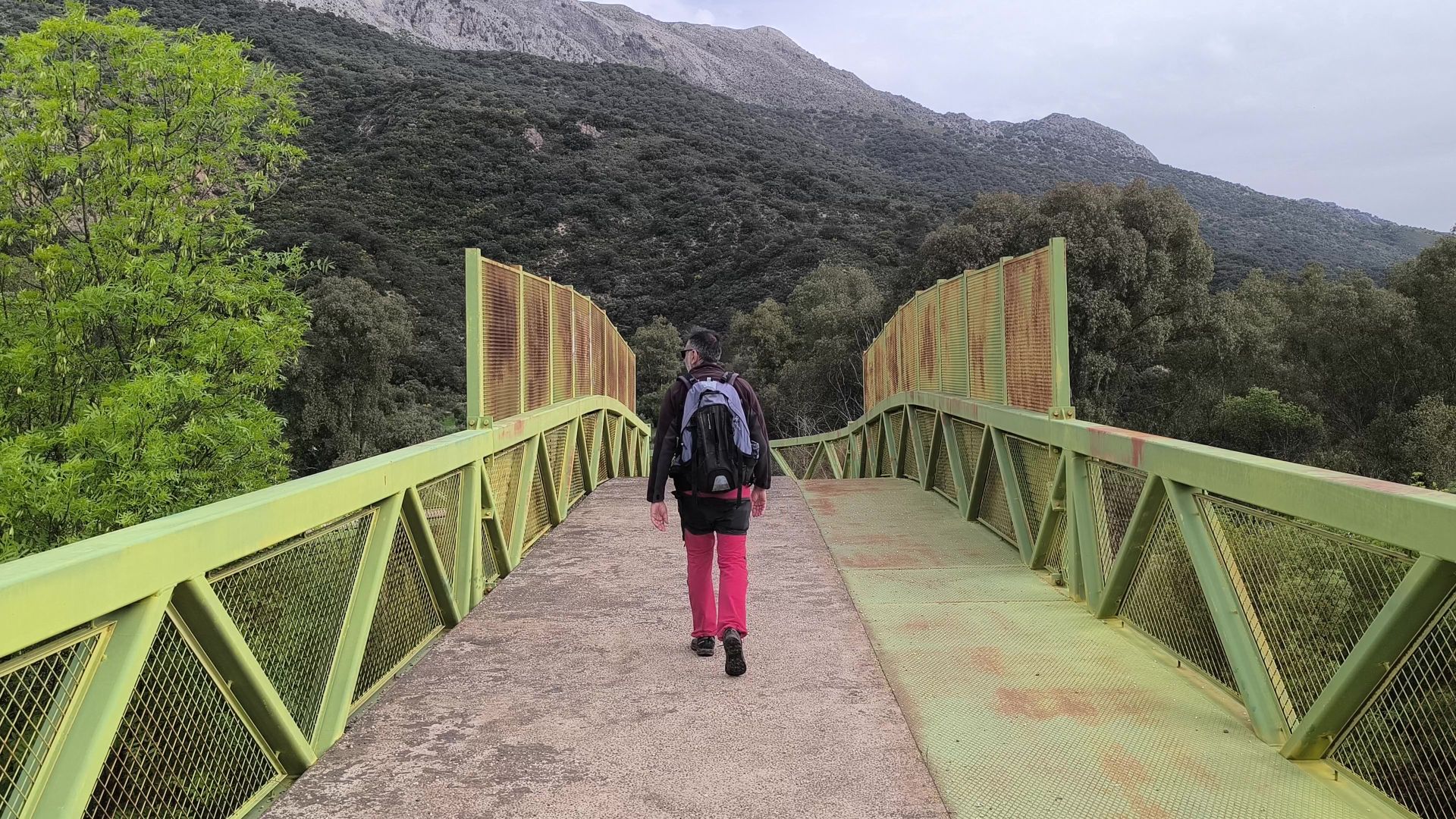

From Gibraltar to Santiago de Compostela, but passing through valleys and mountains of the Serranía de Ronda. This is one of the lesser-known but most spectacular Jacobean routes that have been recovered today for pilgrims and hikers. It is known as the Vía Serrana and connects La Línea de la Concepción (Cádiz) with Utrera (Seville), passing through several municipalities of the province of Málaga. In this order: Cortes de la Frontera, Jimera de Líbar, Benaoján, and Ronda.
Although in Málaga the Jacobean prominence usually falls on the Mozarabic Way, the route that connects the center of the capital with Córdoba, Mérida, and the Vía de la Plata, the Vía Serrana offers a completely different approach. It does not start from Málaga nor does it end there, but it does cross one of the most emblematic territories of Andalusia. Thus, the Serranía de Ronda is integrated into a network of historic paths that today has become an alternative for those seeking less crowded routes and more connected to nature. If the Mozarabic Way is noted for its historical and urban load, the Vía Serrana stands out for the tranquility of rural areas, its fluvial and mountainous landscape, and its link with traditional paths that connected Gibraltar with the interior of Andalusia.
The origin of this route is not based on a single medieval layout, as is the case with other established routes, but on a network of royal cattle trails, pack animal paths, and natural passes used for centuries by muleteers, merchants, travelers, and, in certain periods, some pilgrims from the southern peninsula or from Gibraltar itself.
The current official route is a historically documented reinterpretation, developed by Jacobean associations of Cádiz, Málaga, and Sevilla to give continuity to this ancestral transit. There is no known single original path, but there is evidence of a stable corridor that facilitated the passage between the coast and the interior.
Journey through the Serranía
The itinerary, which has a stretch of almost 60 kilometers in the province, enters Málaga at the Gaucín Station -also known as El Colmenar-, an Autonomous Local Entity belonging to Cortes de la Frontera. Nestled in a deep and shady valley, surrounded by cork oaks and along the Guadiaro river, it marks the beginning of the journey through the province of Málaga. It is a cool and fluvial environment that surprises those who expect a more mountainous entrance.
From El Colmenar, the Vía Serrana begins one of its most distinctive features: a fluvial stretch of about 30 continuous kilometers following the Guadiaro river to Benaoján Station. Along this route, the path heads towards Cañada Real del Tesoro (a rural area also belonging to Cortes de la Frontera) and continues through Jimera de Líbar Station, without entering the urban centers of Jimera or Benaoján.
Throughout these stages, the trail runs along the river, among riverside forests, old paths, and small orchards, and also crosses the natural monument of the Buitreras del Guadiaro, one of the most spectacular gorges in Andalusia, with vertical walls that rise between 100 and 200 meters and where griffon vultures nest. It does so in the segment that starts from El Colmenar, as one of the first highlights of this great journey through the lands of the Serranía. In this great canyon, the municipal terms of Cortes de la Frontera, Benalauría, and Benarrabá converge. The constant presence of water and the sensation of walking next to vertiginous limestone walls make this stretch one of the most impactful segments of the entire route. After crossing this protected area, the stage concludes in Cañada Real del Tesoro.
From this hamlet of Cortes de la Frontera, the next milestone is the territory of Jimera de Líbar. Specifically, it reaches the railway-originated neighborhood known as Jimera Station. In this stretch, the valley opens widely, allowing views of abrupt limestone sierras on either side. Then, the path heads to the nucleus of Benaoján Station, following a hiking route that today is also part of the Gran Senda de Málaga. Along this route, which runs parallel to both the river and the railway line that connects Ronda with Algeciras, another gorge appears -though less spectacular than the Buitreras-: the Angosturas del Guadiaro. The environment also remains relatively close, although with a notable slope, to the Cueva de la Pileta.
From Benaoján Station, where after the rains you can enjoy a spectacular waterfall, the path heads to Ronda on a hiking stretch that no longer coincides with the one proposed by the Gran Senda de Málaga. Here the route passes relatively close to the Natural Monument of the Cueva del Gato, one of the great natural emblems of the Serranía de Ronda.
Arrival in Ronda
The Vía Serrana climbs towards Ronda until it enters through the Puerta de Almocábar, the southern access of the walled enclosure that leads into the emblematic Barrio de San Francisco, where the majestic church of the Holy Spirit stands. The arrival is full of symbolism: walls, towers, stone, and in the background, the profile of a city that for centuries has been a crossroads between Atlantic Andalusia, Mediterranean Andalusia, and Castilian Andalusia. Ronda had brotherhoods, hermitages, and hospitals for walkers, which reinforces its historical role within this communications corridor.
But the journey does not stop here. From Ronda, the Vía Serrana continues north towards Setenil de las Bodegas (Cádiz), in a stage that serves as a transition between the Serranía of Málaga and the landscapes of the Cadiz countryside. In this segment, the itinerary passes relatively close to the archaeological site of Acinipo, the so-called 'Old Ronda,' which was an important Roman city built on a plateau at almost a thousand meters of altitude, with striking remains such as its theater. Although the official path does not enter the archaeological site, its proximity adds a powerful historical layer to the narrative of the pilgrim who leaves Ronda heading north.
Signage
Currently, the Vía Serrana is marked with the classic yellow arrows, Jacobean shells, and interpretive panels installed by associations from Cádiz, Málaga, and Sevilla, with the support of town halls and volunteer groups. Most of the route can be followed without major problems, although it is advisable to accompany the walk with updated maps or hiking applications, especially in rural or low mountain areas. Many of those who travel it today are Andalusian hikers and pilgrims who do it in stages on weekends, although more and more walkers complete it in one go to connect with the Vía Augusta and the Vía de la Plata on the way to Santiago. This is complemented by a trickle of foreign pilgrims -especially British and Nordic- who have discovered it thanks to blogs, forums, and guides in English, attracted precisely by its discreet and uncrowded character.
As a historical curiosity, studies on the Vía Serrana and the route of the romantic travelers recall that these paths between Gibraltar, Gaucín, and Ronda were very frequented in the 18th and 19th centuries by British travelers, merchants, and military personnel, who entered through the Rock and headed towards the Serranía on horseback. It was not then a Jacobean path as such, but it was an international corridor where languages, goods, spies, and also some devotees who took advantage of those same passes to head towards the interior of the peninsula crossed. This traveler's memory, linked to the so-called 'English Way' from the south and the route of the romantics, is today one of the arguments used to claim the Vía Serrana as a fully-fledged cultural and Jacobean itinerary.
The route has the endorsement of the Spanish Federation of Associations of the Camino de Santiago, which integrates it into the Andalusian Jacobean network. Its main attraction lies in the authenticity of the route, the mix between long fluvial stretches, gorges, and mountainous reliefs, and its quiet and uncrowded atmosphere. The Vía Serrana thus recovers a historic corridor of human mobility that, for centuries, united territories, cultures, and economies, and that today is reopening to a type of traveler who seeks to walk calmly, far from the large flows of the French Way, but without renouncing history or landscape.

Latest news



Upcoming events
12
Nov
El Desembarco, la traición de Viriato at La Caja Blanca
12
Nov
HOMER El Mero Mero at Sala Trinchera Málaga
13
Nov
Marbella Startup Lab – Innovate & Collaborate
13
Nov
Candlelight: Coldplay & Imagine Dragons at Sala Fundación Unicaja María Cristina
13
Nov
Candlelight: Tribute to Ludovico Einaudi at Anantara Villa Padierna
Similar News

Málaga Airport Makes History with More Than Three Million Passengers in One Month
Málaga

Port of Málaga looks beyond its docks to support future growth
Málaga
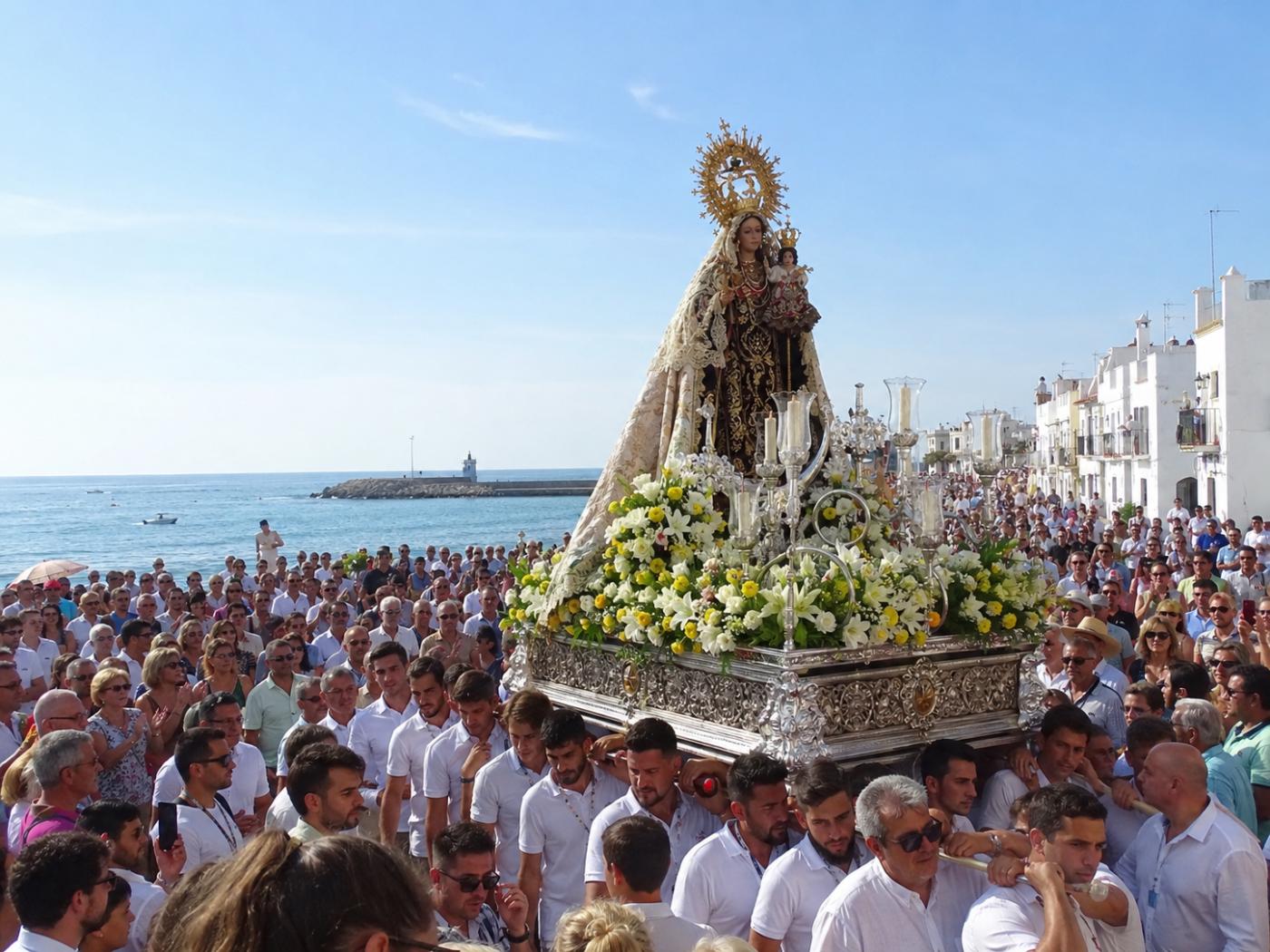
Guide to the Virgen del Carmen Processions in Málaga and the Province
Málaga