Tour of the Roman Route of Iregua
Five stages shape this extended path through La Rioja that crosses magnificent natural landscapes and towns full of history.
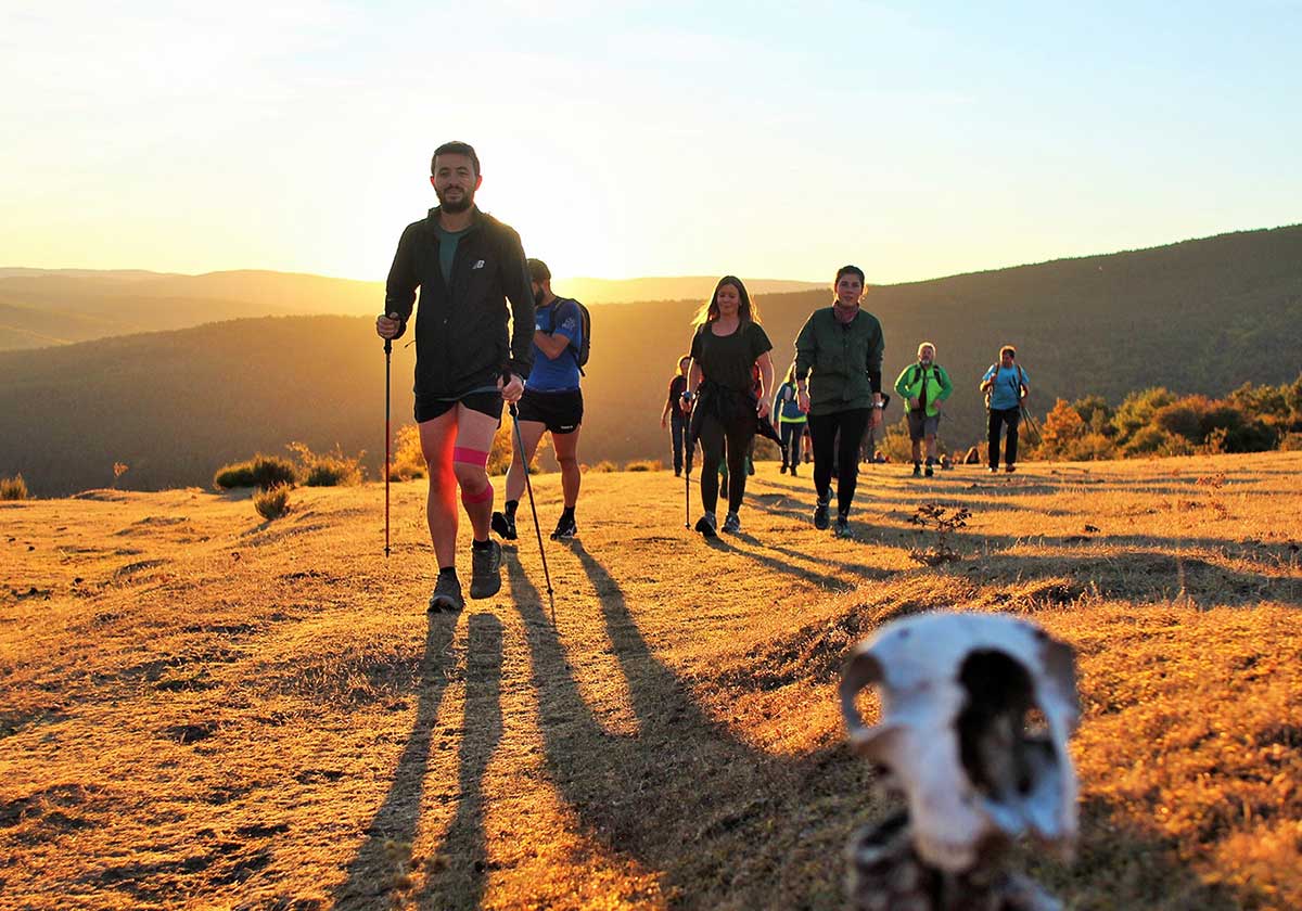

It seems that the Romans used it to connect the river port of Vareia (Varea) with the formidable Numancia. Legs and carts traveled in that time near the river that gives it its name, now ours will do the same. The Roman road of Iregua, filled with forests of oaks, gall oaks, pine forests, and rocky outcrops, stretches across five stages. Now, it serves as a path for hiking, discovering a part of La Rioja, and testing one's physical and mental strength (not that too many kilometers are faced each day, so don't panic). It's also for spending a few different days, enjoying walking and pausing to contemplate the landscape. In these lines, we tell you the basics about the journey. It is possible to learn more about it, in order to face it with guarantees and knowing what you are doing, by visiting the website https://lariojaturismo.com.
Those who have completed it comment that this sum of journeys offers impressive natural views, like that of Peña Bajenza, and also allows, moreover, to learn more about historical enclaves, remnants of those who came from ancient Rome to these lands.
That's why they announce and applaud it as "ideal for walkers, cyclists, and nature lovers looking to explore the rich cultural and landscape heritage of this region." It's no small feat, truly, achieving these goals will help make the most of the days.
Speaking of which, there's no need to wake up-walk-sleep and repeat each day. The experience doesn't have to be cyclical if you don't feel like it. Those who decide to undertake it can take advantage of spending several nights at each stage end, getting to know the surroundings without time pressures. Combining sport, culture, and fun, even relaxation... the essential thing is that there's no rush, no one is waiting at the finish line with a stopwatch in hand.
The sum of kilometers begins with the first 13.6. It starts in Viguera, where it's possible to visit the Church of the Assumption (from the 16th century), some palaces, the main square, and the urban complex, in addition to the Peñueco viewpoint, which offers views over the valley. Afterward, you will need to leave the village via La Barga street, near that church, heading towards the cemetery. Along the way, there will be cultivated fields and a natural Mediterranean environment filled with holm oaks, gorse and thyme, oaks, beeches, and large boxwood hedges, limestone rocks, springs, bridges... In short, a bit of everything.
Three are the most important landmarks to spot. The Collado del Castillo was used in the past as a border control site, exactly during the Middle Ages, when Muslims and Christians disputed these lands. The deep ravine, narrow, boxed in, and carved into the rock, was also a strategic passage in the past as it allowed to bypass the rocky area. And Peña Soto, a limestone rock mass that amazes embedded in the landscape.
Overcoming them means reaching Torrecilla en Cameros, a municipality nestled within the Cameros mountain range, within the upper and middle valley of the Iregua river. It won't have been a huge stage, nor is it necessary to walk all day long. It's about having a good time with the view while remembering that you are walking a historic path.
We raise the stakes a bit in kilometers, just a little, talking about 15.7. The starting village had a stable population during the first half of the last century, but the shift of industry to Viana meant the departure of many inhabitants. That's why only cereal and potato crops prevail now.
Among all, the San Martín neighborhood stands out, with its parish church of the same name (15th century) and a Plateresque altarpiece. Also, the Barruelo neighborhood, to the right of the river. And the hermitage of San Antón in El Campillo. Added to the sights, the Birth House of Sagasta, which includes a reproduction of the office of this 19th-century engineer and politician, as well as personal objects and documents. And the bridge over the Iregua. That before leaving.
Then, it will be time to explore the hermitage of Tómalos, located in an enclave that has something magical and defensive about the rocky cliffs on which it sits; the Almarza Bridge; Montemediano, nestled in a strategic area historically used as a natural pass; and El Rasillo, a small, clearer pass that allowed overcoming the terrain's elevation. All before reaching the next destination, where to rest that night, a place that awaits between the reservoir, where fishing for trout is possible, and the mountain. More, nearby await the Romanesque hermitage of San Mamés, rebuilt in 1815 and equipped with a Baroque altarpiece, and the high walk of Agenzana, among pine forests and beech woods. Even climbing in Peña Zapatero is an option for visitors.
Attention, because this stage has two alternatives. The first is the Pradillo-Villanueva variant, 9.9 kilometers. The second is the Puente Almarza-Pradillo-Montemediano variant of 9.5. Each one decides, after studying the options, which suits them best.
First warning in this option of 10.2 kilometers: it overlaps with sections of two other marked routes, the Sierras de La Rioja trail, between Ortigosa and the depopulated El Hoyo, and the El Hoyo-Villoslada link, which connects the previous trail with the Altos Valles Ibéricos trail, which is accessible in Villoslada. Having said that, the initial locality was a prehistoric settlement first. Later it would end up linked to the Manriques until 1450 and to the Dukes of Nájera later, to become a villa of royal jurisdiction in 1781, thanks to the Mesta and the woolen manufactures. Later, many left the place in search of a better future and some, who were lucky, returned as enriched Indianos. The important thing is that the villa shows a beautiful mountainous architectural ensemble, staggered on the slopes of a ravine. It also adds two churches and stone manor houses.
Its limestone mountains harbor caves like the Paz cave, packed with stalactites and stalagmites, and the Viña cave, adorned with white stalactites. Nearby, a visit to the Collado de Canto Hincado, on the watershed of Najerilla and Iregua, with the González Lacasa reservoir, where water sports can be practiced, is worth it for a change of activity. Once everything is enjoyed, it will be time to continue towards Peñaloscintos, a small village surrounded by forests and meadows; El Hoyo, where the Roman road crossed a small depression; and the hermitage of Lollano, the only vestige of the old village depopulated in the mid-18th century. To end in Villoslada de Cameros.
This time you won't walk much, just a scant 6.5 kilometers. Like the previous one, this section coincides with parts of two marked routes, in this case belonging to the Sierra de Cebollera Natural Park, the Roman road trail, from Villoslada to the Piqueras pass, and the last part of the Pajares trail.
The origin of the municipality that marks the starting shot dates back at least to the 10th century, although its name appears written for the first time in 1366, with the denomination of Villaoslada, as one of the villas that Pedro Manrique received from Henry II of Trastámara as a reward for having deserted the cause of Peter I the Cruel. Later, the place passed into the hands of the Dukes of Nájera, until the abolition of the lordships in 1811.
During the 19th century, royal cloths were manufactured there, many, as there were exactly 40 looms. Such important was considered the work, that the young workers of these factories did not have to serve in the militias, they were more valuable as labor than for the military work they could hold. Cattle farming, especially cattle, forest resources, and rural tourism now sustain the inhabitants. The latter arrive more and more often to admire the mountain architectural ensemble, the Paseo del Espolón, and the church of the Virgen del Sagrario which shows a sacristy from the 17th century.
After starting to walk, the effort and calorie burning will also serve to discover the Laguna de La Nava, which curiously does not always have water, as the liquid element comes from the thaw, so if there has been no snow, you know what awaits, an invisible lagoon (it also has its charm). The goal this time is to end in Lumbreras de Cameros, a Riojan municipality that borders the neighboring province of Soria.
Let's start with the length of this section: 10.8 kilometers. Lumbreras de Cameros is made up of three populations: Lumbreras (head of the municipality), San Andrés, and El Horcajo. The inhabitants of the first two increased when those from the village of Pajares, flooded to create the reservoir, joined them. Three also, in this case, mountains, make up part of the Sierra de Cebollera Natural Park; we name them: the Dehesa Lastornal, the Dehesa Las Matas, and the Terrazas.
Now we are located in the region of Torrecilla en Cameros, a vast municipality, one of the largest in the autonomous community, which plays along the Piqueras river and its tributaries, whose waters created a narrow valley. Sadly, it is an area with an aging population, as the young have emigrated in search of new airs, since the territory only offered livestock and forest resources.
Speaking of offers, among what is now proposed to tourism, we first count the church of San Bartolomé, built in the 16th and 17th centuries, which keeps an interesting main altarpiece and an important organ in its choir, as well as paintings of various styles. And we add to the list the town hall building and the beautiful houses adorned with coats of arms.
Outside, on the route, the participant will pass by San Andrés, whose origin dates back to the Middle Ages, as it was part of the repopulations promoted after the Reconquista to occupy the territory. You will also get to know the Venta de Piqueras, surrounded by forests of beeches and oaks, historically a resting place for travelers, merchants, and shepherds who crossed the mountain range, and also used as a surveillance point due to its elevated position. And the Puerto de Piqueras, a mountain pass that rises over 1,710 meters where the valleys of the Iregua and Najerilla rivers are connected. In Roman times it communicated the Ebro valley with the Sorian plateau; it served in the Middle Ages as a route for herding, trade, and transit for a good number of travelers; and now it offers panoramic views of the Camero Nuevo and the bordering sierras.
This point will constitute the end of the five stages that have served to get to know a part of La Rioja in the way that destinations are best known, walking, without haste or pressures, stopping to admire the details that catch the attention. Enjoying the routes among trees, to the lull of the water, which flows tirelessly pushed by the current through corners that have changed in appearance and function over the centuries, but still retain that charm for which many people decide to complete this tranquil adventure in this fast-paced world. To recover the calm of the past, appreciate the breeze on the face, and take pride in finishing the task, a task that actually nourishes leisure to add new experiences.

Latest news




Upcoming events
12
Nov
El Desembarco, la traición de Viriato at La Caja Blanca
12
Nov
HOMER El Mero Mero at Sala Trinchera Málaga
13
Nov
Marbella Startup Lab – Innovate & Collaborate
13
Nov
Candlelight: Coldplay & Imagine Dragons at Sala Fundación Unicaja María Cristina
13
Nov
Candlelight: Tribute to Ludovico Einaudi at Anantara Villa Padierna
Similar News

Málaga Airport Makes History with More Than Three Million Passengers in One Month
Málaga
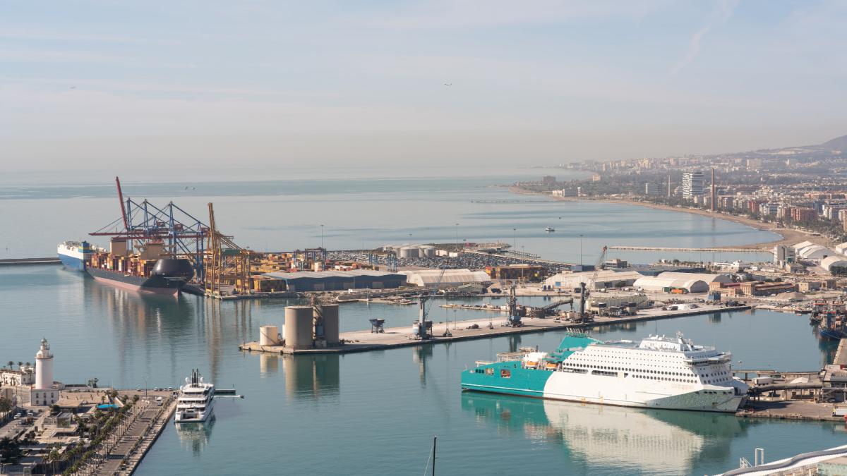
Port of Málaga looks beyond its docks to support future growth
Málaga
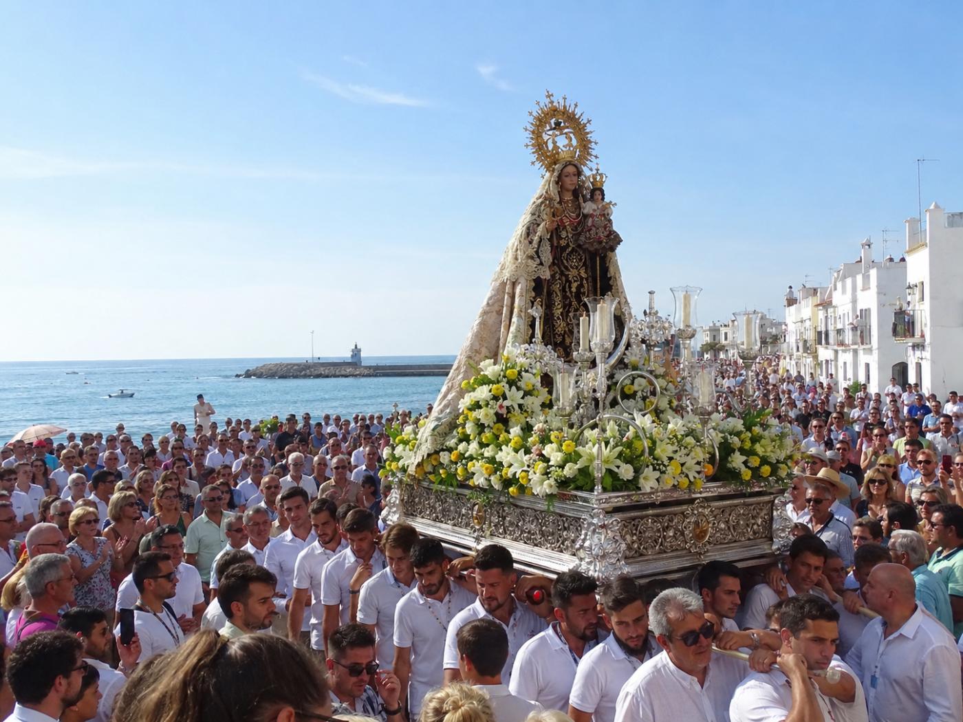
Guide to the Virgen del Carmen Processions in Málaga and the Province
Málaga