


Map with all the regions of the province of Málaga
It is composed of nine: Serranía de Ronda, the Western Costa del Sol, Guadalteba, Sierra de las Nieves, Antequera, the Guadalhorce Valley, Málaga, Nororma, and Axarquía. From Coín to space: a company cultivates the same algae eaten by astronauts.


The province of Málaga, with nearly two million inhabitants, is the second most populated in Andalusia. This territory is divided into nine regions. From west to east, they are Serranía de Ronda, Costa del Sol Occidental, Guadalteba, Sierra de las Nieves, Antequera, Valle del Guadalhorce, Málaga, Nororma, and Axarquía. In total, the population registered in the province is 1,774,701, according to data from January 1, 2024, from the National Institute of Statistics (INE). In terms of area, the province of Málaga spans 7,308 square kilometers, of which 175 are coastline (although only three of its regions directly face the Alborán Sea). The province has a total of 103 municipalities.
Serranía de Ronda
Starting with the region furthest west, the Serranía de Ronda, bordering Cádiz and Sevilla, is surrounded by the mountains of the Sierras de Ubrique and Sierra de las Nieves. This territory in Málaga is entirely inland and offers not only a glimpse into the area's history (with its monuments and ancient cave discoveries) but is also a destination for enjoying nature.
Among the municipalities in this region are Ronda, Alpandeire, Arriate, Atajate, Cortes de la Frontera, Setenil de las Bodegas, Gaucín, Genaguacil, Jubrique, Parauta, and Pujerra. The Provincial Council includes more than 20 localities in this area of 1,536 square kilometers.
Costa del Sol Occidental
The region of Costa del Sol has the largest stretch of sea, starting from Manilva (next to the neighboring province of Cádiz), and also includes Estepona, San Pedro Alcántara, Benahavís, Marbella, La Cala de Mijas (also Mijas Pueblo), Fuengirola, Benalmádena, and ends in Torremolinos. It covers an area of 803.95 square kilometers, mostly along the coastline. It is one of Spain's top tourist destinations, both for its Mediterranean climate and its options for beaches and leisure.
This region includes the second most populated city in the province, with 159,000 inhabitants, Marbella, as well as the third, Mijas, which has 93,302 residents.
Guadalteba
This region is named after the Guadalteba river, with the Serranía de Ronda to its west and Antequera to its east. It is framed by the Sierra del Valle de Abdalajís, Sierra de Pizarra, Sierra de Aguas, Sierra de Baños, Sierra de Alcaparaín, and Sierra de Ortegícar. It covers an area of 722.58 square kilometers.
This area has a continental climate, with cold winters and hot summers. In this region, the municipalities of Almargen, Ardales, Campillos, Cañete la Real, Carratraca, Cuevas del Becerro, Sierra de Yeguas, and Teba are located.
Sierra de las Nieves
The region of Sierra de las Nieves is located in the central-western part of the province and covers approximately 68,260 hectares. This area includes the mountain range that shares its name, which was declared a Natural Park in 1989 and a National Park in July 2021.
This mountainous area includes the municipalities of Alozaina, Casarabonela, El Burgo, Guaro, Istán, Monda, Ojén, Tolox, and Yunquera.
Antequera
In the center of this inland region, lies Antequera. It features a landscape of rolling fields and plains. It hosts the Natural Park of El Torcal, a natural space that includes one of the most unique landscapes in the area. Additionally, this territory is home to a megalithic monument, the Dólmenes de Antequera, an archaeological site listed as a UNESCO World Heritage Site.
Among the municipalities in this region are Antequera, Alameda, Casabermeja, Fuente de Piedra, Humilladero, Mollina, and Villanueva de la Concepción. It spans an area of 1,147.74 square kilometers.
Valle del Guadalhorce
The Valle del Guadalhorce is an inland region that surrounds part of the capital of Málaga, located near the Costa del Sol, the Sierra de las Nieves Natural Park, the Gaitanes gorge, and the El Chorro reservoirs, as well as the Montes de Málaga.
This valley includes the municipalities of Alhaurín de la Torre, Alhaurín el Grande, Coín, Cártama, Pizarra, Álora, and Almogía. It also includes the area of Valle de Abdalajís. It spans an area of 805.35 square kilometers.
Málaga
Here lies the capital, with an area of 398.25 square kilometers and 591,367 inhabitants (according to data from January 1, 2024, collected by the INE), it is the seventh most populated capital in Spain. The area where the Valle del Guadalhorce ends, extending to the coast, also hosts the Natural Park of the Montes de Málaga.
A metropolis with a wide variety of cultural options (including various museums and theaters), monumental as well as gastronomic offerings. The capital also has international connections through the airport of Málaga-Costa del Sol, maritime links through the port, and connections with other capitals and municipalities on the peninsula by train.
Nororma
This region is located in the interior of the province of Málaga, and borders Granada and Córdoba. The name Nororma corresponds to its location within the province: in the northeastern area of Málaga. It is characterized by its olive groves and meadows. It has several archaeological sites, such as Cortijo de San Vicente, Samiaja, Cueva de las Grajas, Necrópolis de los Alcaides, and Cueva de Arcos.
From south to north, it includes the municipalities of Villanueva del Rosario, Villanueva del Trabuco, Archidona, Villanueva de Algaidas, Villanueva de Tapia, Cuevas Bajas, and Cuevas de San Marcos. This region spans about 435 square kilometers.
Axarquía
The last region that borders the coast, and is located in the easternmost part of the province, is Axarquía. It spans 1,023 square kilometers, mixing fishing villages with inland agricultural areas.
Touring its coastline, from the capital, are Rincón de la Victoria, Torre del Mar, Vélez-Málaga, the towns of Algarrobo and Torrox, up to Nerja, a space that hosts the cliffs of Maro-Cerro Gordo, and the caves of this city. It is the region that contains the most municipalities, with a thirty, as it also extends inland, where Periana, Comares, Sedella, Canillas del Aceituno, or Frigiliana are located.

Latest news





Upcoming events
12
Nov
El Desembarco, la traición de Viriato at La Caja Blanca
12
Nov
HOMER El Mero Mero at Sala Trinchera Málaga
13
Nov
Marbella Startup Lab – Innovate & Collaborate
13
Nov
Candlelight: Coldplay & Imagine Dragons at Sala Fundación Unicaja María Cristina
13
Nov
Candlelight: Tribute to Ludovico Einaudi at Anantara Villa Padierna
Similar News
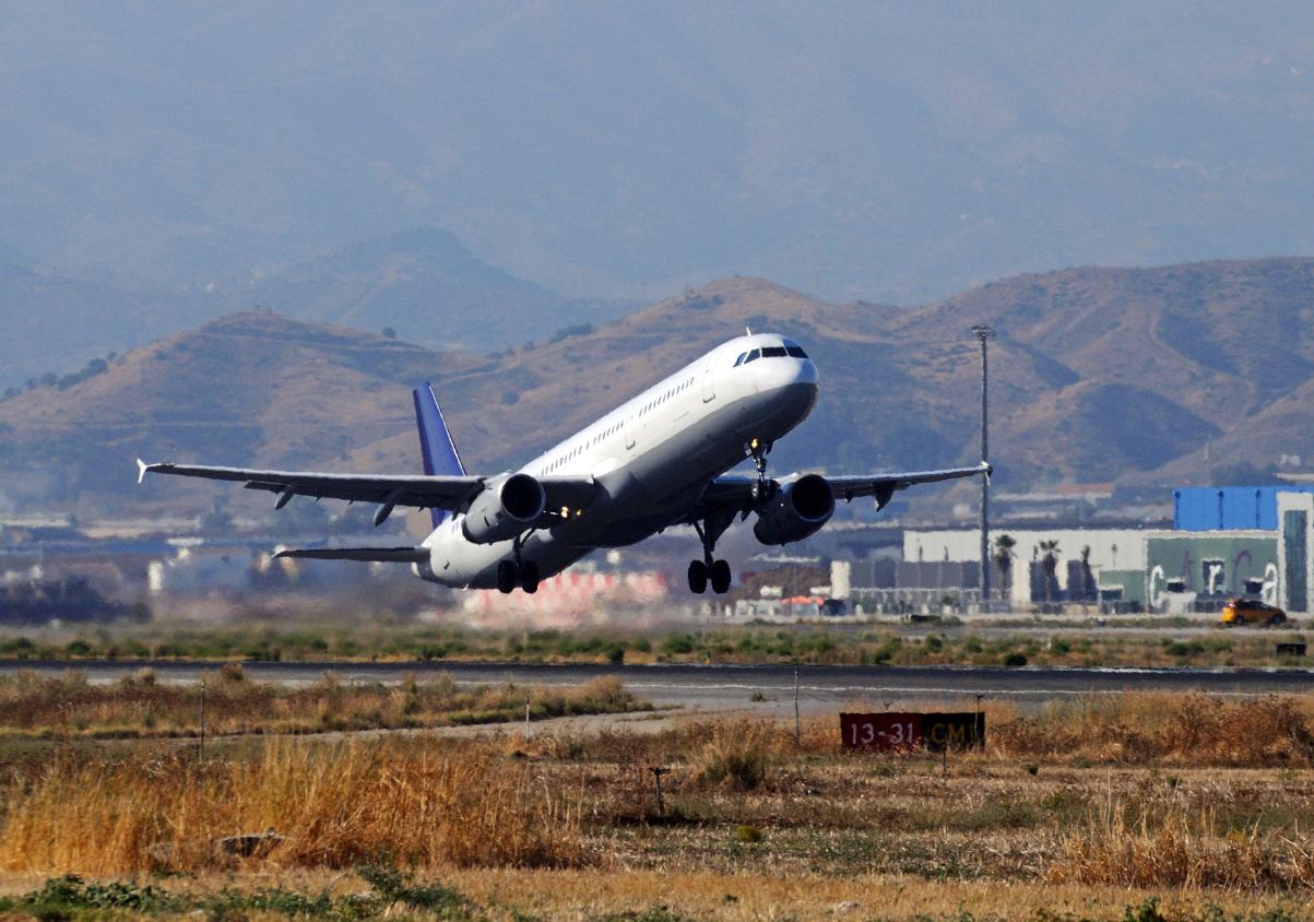
Málaga Airport Makes History with More Than Three Million Passengers in One Month
Málaga
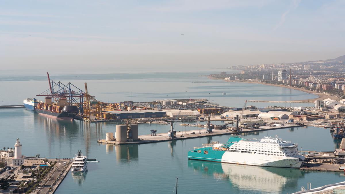
Port of Málaga looks beyond its docks to support future growth
Málaga
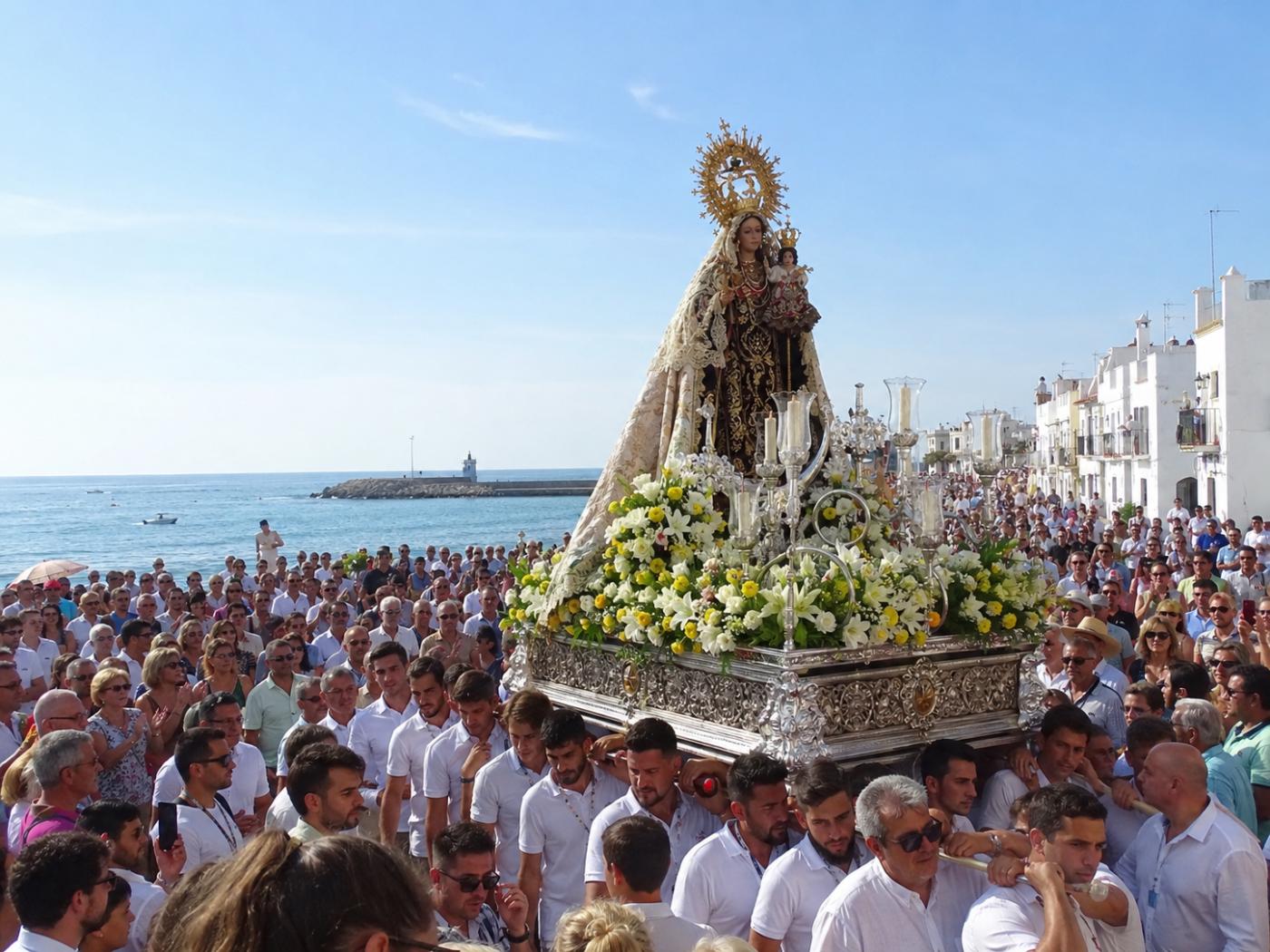
Guide to the Virgen del Carmen Processions in Málaga and the Province
Málaga
