


What is the Foehn effect and why is today's rain less noticeable in the city of Málaga?
Rainfall is concentrated on the side of the mountains most exposed to the wind, and by the time it reaches the city, it is already much weakened.


In the Serranía de Ronda, more than 90 liters per square meter have accumulated so far today (until 10:00 AM) at the Genal river in Jubrique. Meanwhile, at the Farola promenade in the capital, only 12 liters have fallen, according to data from the Hidrosur network of the Junta. The Aemet Meteorological Center, in today's orange alert for the Costa del Sol and Guadalhorce area, clarifies that the expected precipitation in 12 hours is 100 l/m2, and accumulations over 150 l/m2 could be reached in 24 hours. However, it clarifies, verbatim: "This only refers to the western half of the area, in the rest, accumulations of 40 l/m2 are expected in 12 hours."
Why is there such a difference? The explanation, according to meteorologists, lies in the orography of the capital and what in physics is called the Foehn effect. Essentially, the clash of a cloud front against the most exposed face of the mountains causes the greatest precipitations to accumulate and discharge on that side.
Therefore, after crossing the peaks, the clouds tend to dissipate, although when they come as loaded as they are now, they still leave some precipitation. This effect is often seen at the Puerto de Las Pedrizas and in the Montes de Málaga, and it is what makes the Sierra de Grazalema one of the wettest places in Spain. The Atlantic fronts collide and discharge there, while on the leeward side, the air becomes warmer and drier. The Foehn effect is also responsible for the terral, which causes high temperatures in the capital, Guadalhorce, Estepona, and Vélez-Málaga.
Weather broadcaster José Luis Escudero illustrates this with an example: "If you now drove to the Axarquía, you would see that there, due to the orography of the coast, the wind comes from the southwest, meaning the clouds are coming in from the sea. That's why it's raining so much in the interior of the Axarquía, and La Viñuela is about to reach 60% of its capacity."
In contrast, the orography of Málaga capital causes the clouds to come more from land, and that's why it's not raining as much, although there is so much humidity coming that it is still raining somewhat. "That's why," he continues, "people in my neighborhood are already saying that it's not raining as much here, as was already predicted in the Aemet warning." Meanwhile, in Marbella, they have already reached 60 liters per square meter, "because there the winds also come in from the sea."

Latest news





Upcoming events
12
Nov
El Desembarco, la traición de Viriato at La Caja Blanca
12
Nov
HOMER El Mero Mero at Sala Trinchera Málaga
13
Nov
Marbella Startup Lab – Innovate & Collaborate
13
Nov
Candlelight: Coldplay & Imagine Dragons at Sala Fundación Unicaja María Cristina
13
Nov
Candlelight: Tribute to Ludovico Einaudi at Anantara Villa Padierna
Similar News

Málaga Airport Makes History with More Than Three Million Passengers in One Month
Málaga
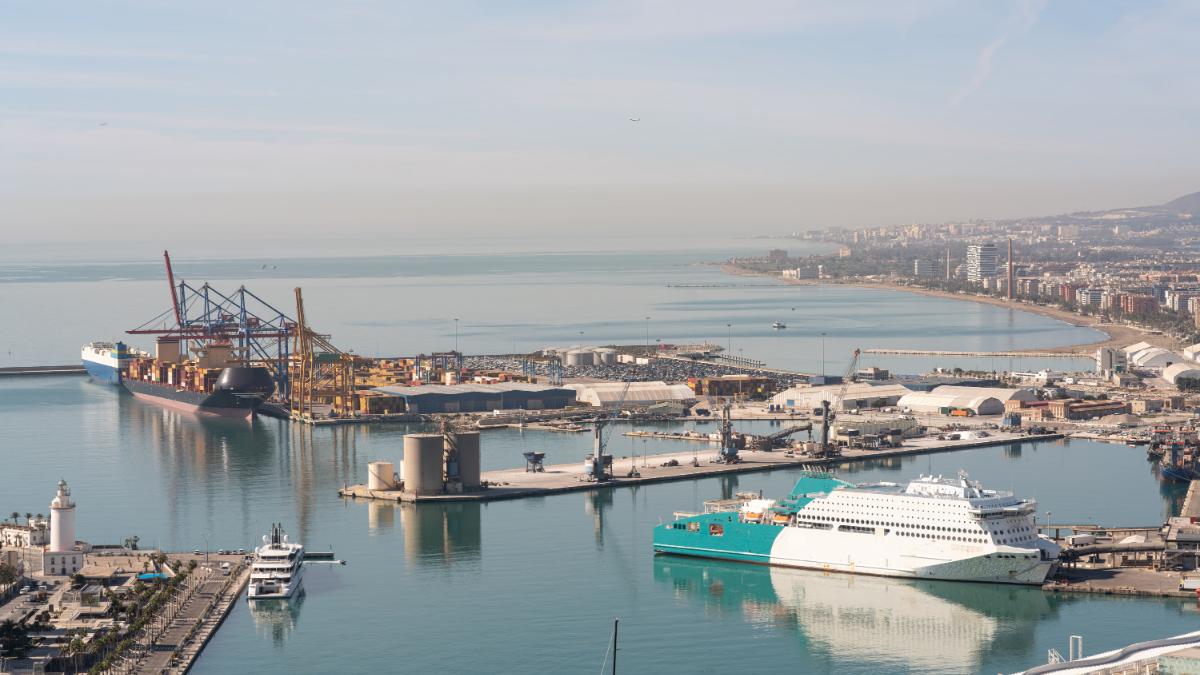
Port of Málaga looks beyond its docks to support future growth
Málaga

Guide to the Virgen del Carmen Processions in Málaga and the Province
Málaga
