From a museum village to one of the most beautiful white villages: the most magical hiking route of the Great Trail of Malaga
Between Genalguacil and Casares, there is a trail of great beauty that connects these two villages with strong character in Málaga. The 35 routes of the Great Trail of Málaga: the treasure is the map itself.
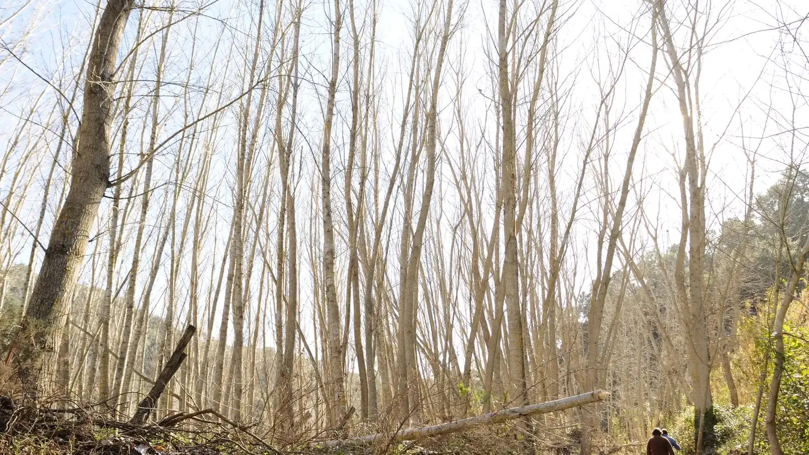

There are paths that not only connect points on a map but also complete narratives of the territory. In the interior of the province of Málaga, there is a route where art coexists with the mountain, where towns seem to emerge from the stone, and where the landscape changes at every step without losing coherence. Stage 28 of the Great Path of Málaga draws this invisible thread between two unique localities, Genalguacil and Casares, connecting culture, nature, and tradition along a journey that sums up the essence of the deepest south.
The Great Path of Málaga is one of the major hiking projects in Andalusia, structuring the province through a network of stages that link municipalities, natural spaces, and historical sites. Within this route, the stage that connects Genalguacil and Casares stands out for its scenic richness and the uniqueness of the urban centers it connects. With an approximate length of 20 kilometers, this section runs between the Genal Valley and the surroundings of Sierra Crestellina, crossing hills, mountain passes, riverbanks, and cork oak forests that define the character of western Málaga.
Genalguacil, the Museum Village as a starting point
The journey begins in Genalguacil, known as the Museum Village due to the constant presence of artworks integrated into its streets and facades. From the Mirador de los Poyetes, located in the southern part of the urban area close to the church and Real Street, the trail enters the natural environment.
In the first kilometers, the landscape consists of terraces of olive trees, prickly pears, and traditional crops, gradually adding holm oaks and cork oaks, marking the transition to areas with denser forests. The climb towards the Helechal house offers a broad view of Genalguacil and the surrounding mountains, highlighting its elevated position within the valley.
Mountain passes, hills, and traces of the rural past
One of the key points of the itinerary is the Loma pass, from where the landscape opens to wide views of the territory. In this sector, remnants such as the ruins of the Nuestra Señora de Valdiviana winery bear witness to the area's agricultural past.
The path continues along the Posteruelas hill, a stretch marked by views of Sierra Bermeja and the white villages of the lower Genal. From there, the descent down the Bañuela slope takes place among slate formations that frame the path and direct the gaze towards the basin of the Almárchal river. At the meeting of this river with the Cueva del Vaque gorge, the charco de la Vega appears, a natural enclave linked to the river flow that is part of the traditional landscape of the route.
The cork oak forest and the visual arrival at Casares
After crossing this area, the route enters a dense cork oak forest, one of the most representative ecosystems of western Málaga. The climb leads to the Lentisco pass, from where the white silhouette of Casares begins to stand out on the horizon.
The route through the Paloma pass allows for a clear view of the Sierra Crestellina formations and the Alberquilla gorge, in an environment where pines, holm oaks, and cork oaks combine. This section leads to the Sierra Crestellina Natural Site, the preamble to the final descent. From the Guardas pass, the landscape opens towards the Mediterranean Sea, a visual contrast that announces the proximity of the destination. The trail advances among country houses and small orchards until reaching the urban center.
Casares, end of the route between lime and stone
The itinerary concludes in Casares, one of the most recognizable white towns in the province of Málaga. Its network of narrow, cobblestone streets leads to the Plaza de España, where the Carlos III fountain, with its four spouts, marks the symbolic end of the stage.
This section of the Great Path of Málaga unites two very different but complementary identities: the artistic character of Genalguacil and the historical aesthetic of Casares. Throughout the journey, the trail crosses changing landscapes, remnants of traditional rural activity, and some of the most representative natural enclaves of the interior of Málaga.
Access and location of the start
Genalguacil is connected to the rest of the Serranía de Ronda via roads MA-8304 and MA-8305, which link to the A-369 (Ronda–Algeciras). From the Costa del Sol, access is via MA-8301 from Estepona to the Puerto de Peñas Blancas, with a possible link to the municipality.
The starting point of the route is located at the Mirador de los Poyetes or the Lomilla, where there is an area equipped for parking, facilitating the start of one of the most representative and evocative stages of the Great Path of Málaga.

Latest news



Upcoming events
12
Nov
El Desembarco, la traición de Viriato at La Caja Blanca
12
Nov
HOMER El Mero Mero at Sala Trinchera Málaga
13
Nov
Marbella Startup Lab – Innovate & Collaborate
13
Nov
Candlelight: Coldplay & Imagine Dragons at Sala Fundación Unicaja María Cristina
13
Nov
Candlelight: Tribute to Ludovico Einaudi at Anantara Villa Padierna
Similar News

Málaga Airport Makes History with More Than Three Million Passengers in One Month
Málaga

Port of Málaga looks beyond its docks to support future growth
Málaga
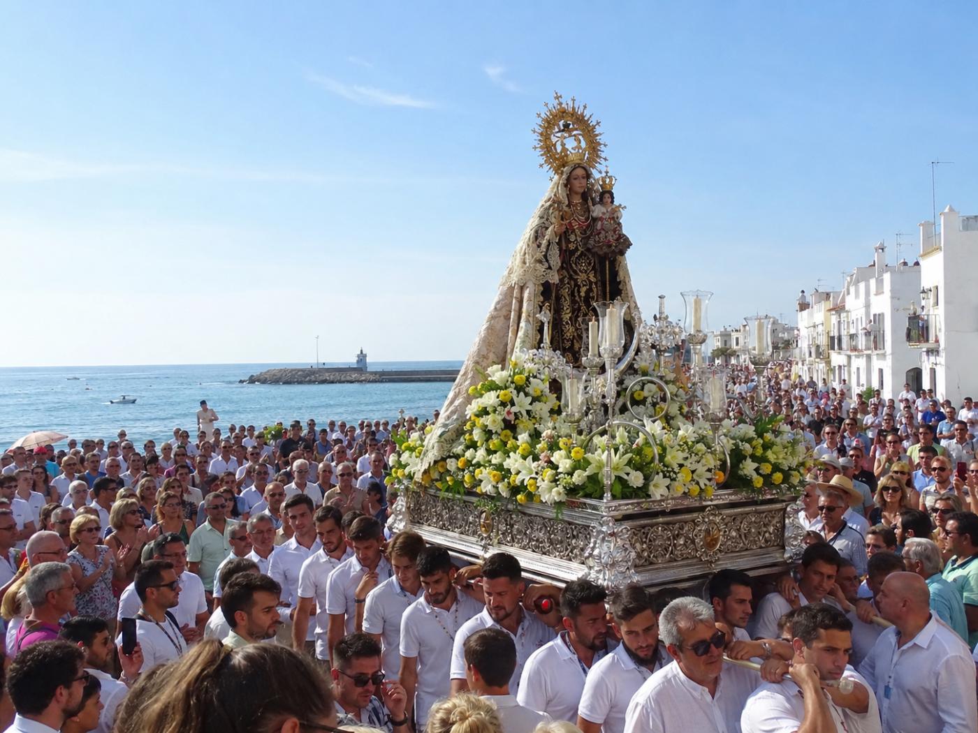
Guide to the Virgen del Carmen Processions in Málaga and the Province
Málaga