


Storm Charles moves away from Málaga: rain in Ronda, rough seas in the Axarquía and temperatures reaching 24°C
Málaga province is recovering from Wednesday's orange weather warnings, although rain is still expected in western inland areas and rough sea conditions may persist along the eastern Costa del Sol on Thursday, November 12


Storm Charles is beginning to move away from Málaga on Thursday, November 12, 2026, following a day of heavy rainfall and powerful wind gusts across the province. Weather conditions are improving compared with Wednesday, although rain is still expected in some inland municipalities and rough seas remain a concern along the Axarquía coastline.
The most significant development is the disappearance of the orange weather warnings that affected several areas of Málaga on Wednesday. The most severe phase of the storm has weakened, and Spain's State Meteorological Agency (Aemet) expects rainfall and wind to gradually decrease as Charles moves away from the Iberian Peninsula.
However, the improvement will not be uniform. In the westernmost parts of Málaga province, particularly the Serranía de Ronda, occasional moderate rainfall is still forecast, while residents and visitors along the eastern coastline should remain cautious because of sea conditions.
Thursday will also bring rising daytime temperatures, particularly in coastal areas. Málaga city is expected to reach 24°C, compared with Wednesday's forecast maximum of 21°C.
Looking ahead to Friday, November 13, conditions are expected to become more settled, although some light rainfall may continue, particularly in the mountainous areas of western Málaga.
The Axarquía was the last part of Málaga under a coastal weather warning
The Axarquía coastline was one of the main areas of concern during the early hours of Thursday.
Aemet issued a yellow warning for coastal hazards, with westerly and south-westerly winds expected to reach between 50 and 60 kilometres per hour, equivalent to force 7 on the Beaufort scale.
These conditions could produce higher waves, potentially reaching between two and three metres in some parts of the eastern coastline.
Coastal towns including Rincón de la Victoria, Vélez-Málaga, Torrox and Nerja are among the areas that can be exposed to rough sea conditions when strong westerly winds affect the coast.
The warning highlighted risks for activities near the sea, particularly around breakwaters, rocky areas, harbours and promenades exposed to waves.
Although earlier forecasts suggested the warning would remain in place until 6 pm, later updates from Emergencias Andalucía and the weather warning information consulted indicated that it ended at 5.59 am on Thursday.
This means the yellow warning had already expired during the early morning, according to the updated information, although sea conditions could remain unsettled afterwards.
The removal of a weather warning does not necessarily mean the sea becomes calm immediately.
Coastal conditions also affected Málaga city
The western coastline of Málaga province also experienced the effects of Storm Charles.
In the Sol and Guadalhorce meteorological district, which includes Málaga city and surrounding municipalities, a yellow coastal weather warning remained in force during the early hours of Thursday.
Information published by Emergencias Andalucía indicated that the warning ended at 3.59 am.
The forecast included south-westerly winds reaching between 50 and 60 kilometres per hour, capable of generating rough seas in exposed locations.
Although conditions have become less severe than during the previous day, authorities continue to recommend avoiding breakwaters and places where unexpected waves could reach pedestrians.
Caution is also advisable for nautical and sporting activities, particularly if strong wind gusts and rough seas persist.
Where will it rain most in Málaga on Thursday, November 12?
The removal of rainfall warnings does not mean rain will disappear completely.
Occasional moderate rainfall is still expected on Thursday, mainly in the westernmost part of Málaga province.
The highest probability is concentrated in the Serranía de Ronda and surrounding areas, where cloud cover will remain extensive and further showers may develop during the morning.
Among the municipalities expected to receive more noticeable rainfall are Jubrique and Pujerra, both located in the Genal Valley.
Forecast estimates suggest that approximately four litres per square metre could fall within one hour in some locations during the morning.
Across other parts of the province, expected amounts are generally lower, with figures close to one litre per square metre during the periods covered by the forecast.
These totals are considerably more moderate than the rainfall levels associated with Wednesday's orange warnings.
However, rainfall can vary between neighbouring municipalities, particularly in mountainous districts where the terrain influences cloud formation and precipitation patterns.
After several days of unsettled weather, residents should also remain aware of road conditions, rural tracks and areas close to streams or rivers.
Ronda and the Genal Valley face the highest chance of rainfall
The Serranía de Ronda will remain one of the most unsettled parts of Málaga on Thursday.
The forecast indicates a very high probability of rain during certain periods, especially in the province's western municipalities.
Around Ronda and the Genal Valley, the likelihood of rainfall could reach almost 100% during some forecast periods, according to the predictions available on Thursday morning.
This percentage refers to the probability of precipitation during a particular period. It does not mean that rain will fall continuously throughout the day or that it will necessarily be heavy.
The expected showers will generally be lighter than those recorded during the most severe phase of Storm Charles.
Municipalities such as Jubrique and Pujerra remain important locations to monitor because of their position in a mountainous district where weather conditions can change quickly.
Moisture and persistent cloud cover will help keep the possibility of rain in these areas for longer than along much of the coast.
Málaga city temperatures could reach 24°C after the storm
Alongside the reduction in rainfall intensity, Thursday will bring a noticeable change in temperatures.
Málaga city is expected to reach a maximum of 24°C, three degrees higher than the 21°C forecast for Wednesday.
This increase should create milder conditions at certain times of day, particularly in coastal areas where the wind and cloud cover gradually improve.
However, rising temperatures do not mean that clear skies are guaranteed throughout the day.
Cloudy periods and the possibility of isolated showers will remain part of the province's weather outlook.
The combination of mild temperatures and occasional rainfall is common when relatively warm, moist air affects the Mediterranean coast.
Conditions inland may be different, with lower temperatures in mountainous areas and more persistent cloud cover.
Visitors travelling from the coast towards Ronda or other higher-altitude towns may therefore encounter noticeably different weather from that experienced in Málaga city.
What will the weather be like in Málaga on Friday, November 13?
The forecast for Friday, November 13, suggests that weather conditions will continue to improve.
However, some light rain could still affect Málaga, mainly in mountainous areas and the western part of the province.
In the Serranía de Ronda and surrounding districts, the probability of precipitation is expected to remain higher than elsewhere.
The general trend is for rainfall to become less frequent and less intense as the day progresses.
Coastal areas should experience increasingly settled conditions if the forecast develops as expected.
At the time the weather information was checked, no new warnings had been issued for Málaga for Friday.
This does not guarantee a complete absence of rain or wind, as official weather warnings are only issued when particular risk thresholds are expected to be reached.
Aemet may also update its warnings if conditions change.
Residents and visitors are therefore advised to consult the latest local forecast before travelling or planning outdoor activities.
Why is the weather improving in Málaga after Storm Charles?
The improvement is linked to Storm Charles moving towards the north-east.
During the preceding days, the interaction between Charles and other Atlantic weather systems, including Storm Bruna, contributed to a period of unsettled weather characterised by significant rainfall, strong winds and rough seas.
Wednesday, November 11, was one of the most challenging days for Málaga, with orange warnings for heavy rainfall and wind gusts across several districts.
The intensity of the weather prompted preventive measures and increased monitoring by emergency services.
According to Aemet's special weather notice, rainfall was expected to become less intense and less widespread from Thursday onwards, accompanied by a gradual weakening of the wind.
This explains why the province has moved from widespread orange and yellow warnings to a situation where coastal warnings were limited to the early hours of Thursday.
The improvement is also part of a wider shift in the weather system, which has affected several regions of Spain.
Safety precautions to follow on the Costa del Sol after the storm
Although conditions are improving, it is important to continue taking certain precautions.
After several days of rainfall, the ground may remain saturated and some watercourses may still be carrying significant amounts of water.
In rural and mountainous areas, drivers should watch for possible landslides, fallen vegetation and standing water on roads.
It is also advisable to check the condition of rural paths and access routes before setting out on hiking trips.
Along the coastline, the main recommendation is to keep a safe distance from breakwaters, rocks and seafront promenades exposed to waves.
Waves can remain dangerous even after the wind begins to ease and official warnings have expired.
People planning water sports or other activities at sea should check marine forecasts and current sea conditions before heading out.
In an emergency, the telephone number to call in Andalusia is 112.
Málaga gradually returns to calmer weather after a week of rain
Thursday, November 12, marks a significant change from the most severe days of the weather episode associated with Storm Charles.
Wednesday's orange warnings have disappeared, while the final yellow warnings for coastal hazards were concentrated in the early hours of Thursday, mainly along the Axarquía and Sol and Guadalhorce coastlines.
Occasional rain will continue in western inland areas, with particular attention on municipalities such as Ronda, Jubrique and Pujerra.
Meanwhile, Málaga city will experience a rise in maximum temperatures to 24°C, bringing milder conditions to the coast.
Friday is expected to bring lighter rainfall, mainly in the mountains, with an overall trend towards improving weather.
Storm Charles is therefore beginning to leave Málaga behind, although rough seas and the possibility of further rain mean that the return to settled weather will be gradual and will vary between districts.

Latest news



Similar News
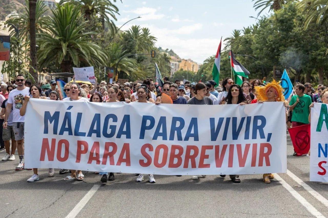
Malaga’s November 11 strike draws a huge housing protest but causes limited disruption
Provincia de Málaga

Storm Charles puts Málaga under orange weather warnings: up to 100mm of rain and 90 km/h winds expected on Wednesday
Provincia de Málaga

Renfe strike in Malaga: three days of disruption to local, regional and high-speed trains
Provincia de Málaga
