How the heat dome will affect Málaga: inland areas could approach 40°C
Temperatures will begin rising over the weekend and are expected to reach their highest levels by the middle of next week. Northern and inland areas of Málaga province will be the most affected, while the coast will remain partially protected by the influence of the Mediterranean.
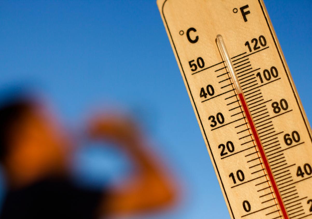

Málaga is preparing for another period of intense heat during the first days of July. Temperatures will start to rise over the weekend and increase further next week, when some inland municipalities could reach or approach 40°C.
The episode is linked to an atmospheric blocking pattern commonly known as a heat dome. A very warm air mass will remain over the Iberian Peninsula for several days, reinforced by high pressure and the intense solar radiation typical of this time of year.
Although Málaga province is not expected to experience the extreme temperatures forecast for the Guadalquivir Valley, where readings could climb well above 40°C, the heat will be particularly intense in the Antequera area, the Guadalhorce Valley and parts of the Serranía de Ronda.
Daytime highs will be more moderate along the coast, but humidity and elevated night-time temperatures may increase the feeling of discomfort.
What is a heat dome and why does it cause temperatures to rise so much?
The term “heat dome” describes a situation in which an area of high pressure remains almost stationary over a region for several days.
Warm air becomes trapped beneath this atmospheric structure and descends towards the surface. As it is compressed, its temperature rises further, while the absence of weather fronts and limited cloud cover allow the ground to receive intense solar radiation.
On this occasion, the phenomenon will combine with the arrival of a dry and very warm air mass from North Africa.
Together, these factors will cause temperatures to rise progressively and remain unusually high for several days.
This will not simply be an isolated hot day. The main concern will be the persistence of the episode, particularly in municipalities where temperatures fail to drop sufficiently overnight.
The heat will intensify over the weekend
The rise in temperature will be gradual. Warmer conditions will already be noticeable on Saturday, especially in inland parts of the province.
On Sunday, maximum temperatures could reach between 35°C and 38°C in several northern areas of Málaga, particularly in municipalities in the Antequera district such as Fuente de Piedra and Villanueva de Algaidas.
The Guadalhorce Valley is initially expected to remain slightly cooler, although towns including Coín, Cártama, Álora and Alhaurín el Grande could easily exceed 30°C.
In Málaga city and other coastal municipalities, daytime highs are likely to range between 30°C and 32°C over the weekend.
However, the perceived temperature may be higher because of coastal humidity and the limited overnight cooling.
Inland Málaga could reach 40°C
The most intense phase of the episode is expected between Tuesday and Thursday.
Forecasts indicate that Fuente de Piedra and Villanueva de Algaidas could reach 40°C, while other parts of the Antequera area may remain just below that level.
Temperatures will also rise significantly in the Guadalhorce Valley. Coín, Cártama and Tolox could reach between 35°C and 38°C during the hottest days.
Actual readings may vary according to altitude, wind direction and the precise location of each weather station. Some particularly exposed areas could therefore temporarily exceed the forecast values.
The Antequera district is likely to be among the areas most affected because of its inland location and reduced maritime influence.
Málaga city and the Costa del Sol will see more moderate temperatures
The Mediterranean will help regulate temperatures across much of the Costa del Sol.
Málaga city could experience highs of between 30°C and 34°C during the hottest days, while Marbella, Estepona, Fuengirola, Benalmádena and Torremolinos may record similar or slightly lower values.
This does not mean conditions will necessarily feel comfortable. High humidity can intensify the sensation of heat, especially during the afternoon and overnight.
Along the coast, the main difficulty may be the minimum temperatures. Overnight readings could remain above 23°C or 24°C and rise even further in Málaga city as the week progresses.
These conditions make it more difficult to cool homes through natural ventilation and may affect sleep, particularly in densely built urban areas.
A prolonged terral episode is not expected
The increase in temperatures will not necessarily be linked to a prolonged terral event.
Terral occurs when wind reaches Málaga after crossing the inland mountains. As it descends towards the coast, the air compresses, loses moisture and rapidly becomes hotter.
A heat dome, by contrast, affects a much wider area and is caused by a persistent high-pressure system with accumulated warm air.
Both phenomena can occur at the same time. If northerly or westerly winds develop over the coming days, temperatures could rise sharply in Málaga city, the Guadalhorce Valley and some coastal areas.
However, even without an intense terral, inland Málaga may experience very high temperatures because of the prolonged presence of the warm air mass.
AEMET warns of very high temperatures
Spain’s State Meteorological Agency has warned of a period of very high and persistent temperatures across much of the Iberian Peninsula and the Balearic Islands.
AEMET has indicated that the situation could officially become a heatwave, although confirmation will depend on its duration, geographical extent and the thresholds reached in each area.
A single municipality experiencing very hot weather is not enough for an episode to be classified as a heatwave. Specific temperature thresholds must be exceeded for several days across a significant proportion of the weather stations analysed.
The most likely scenario is currently for the heat to continue through much of next week, although there is uncertainty about exactly when it will begin to ease.
Nights will be particularly warm along the coast
Some of the most uncomfortable conditions will arrive after sunset.
Málaga city and many municipalities across the Costa del Sol are expected to experience tropical nights, when minimum temperatures remain at or above 20°C.
In some coastal areas, temperatures could stay above 25°C overnight, producing what are sometimes described as torrid or equatorial nights.
The absence of overnight relief increases heat stress because the body has less time to recover from the temperatures experienced during the day.
It also causes homes to retain heat over several consecutive days, especially in buildings with inadequate insulation or prolonged exposure to direct sunlight.
Increased risk of forest fires
The combination of high temperatures, dry vegetation and low humidity will increase the risk of forest fires.
The danger may rise as the week progresses, particularly in mountainous areas and protected natural spaces across the province.
People should avoid any activity capable of producing sparks or flames near woodland. Throwing cigarette ends, using barbecues in unauthorised areas and leaving glass waste behind are strictly prohibited.
Anyone who sees smoke or suspects a fire should contact the 112 emergency service immediately and provide the location as precisely as possible.
Hikers should check access restrictions before setting out, avoid the hottest hours of the day and carry sufficient drinking water.
Advice for staying safe during the heat
During the most intense days, exposure to direct sunlight should be limited between midday and late afternoon.
The main recommendations include:
- Drink water frequently, even without feeling thirsty.
- Avoid excessive alcohol and heavily caffeinated drinks.
- Wear lightweight, loose-fitting and light-coloured clothing.
- Use a hat, sunglasses and sunscreen.
- Reduce physical activity during the hottest hours.
- Keep blinds and shutters closed when direct sunlight enters the home.
- Ventilate homes overnight and early in the morning.
- Never leave children, older people or animals inside a vehicle.
- Check on people who live alone or have chronic medical conditions.
Early signs of heat-related illness may include dizziness, headache, weakness, nausea, hot skin or confusion.
Anyone suspected of suffering from heatstroke should be moved to a cool place, helped to lower their body temperature and given medical assistance immediately.
When will temperatures begin to fall?
The exact duration of the episode remains uncertain.
Forecasts suggest that temperatures could begin to ease in parts of central and northern Spain by the middle of next week.
In southern Spain, however, high temperatures may persist for longer. Málaga could continue experiencing values above the seasonal average until Thursday before a clearer decrease begins.
The position of an upper-level low-pressure system west of the Iberian Peninsula will be decisive. Its movement could bring slightly cooler air, but may also increase instability and produce dry thunderstorms in mountain areas.
The forecast may therefore change over the coming days, making it advisable to check official weather warnings daily.
An early July dominated by persistent heat
The new episode follows a June already marked by high temperatures and a large number of tropical nights in Málaga.
The province will now face several days of increasing heat, with a clear contrast between coastal and inland areas.
While the coast is expected to remain between approximately 30°C and 34°C, parts of northern Málaga and the Guadalhorce Valley could approach 40°C.
The persistence of the heat, warm nights and increased wildfire risk mean that particular caution is required, especially among older people, children and those working outdoors.
Updates on the episode, official warnings and the latest forecasts are available through the official information and prediction services of the Spanish State Meteorological Agency (AEMET).

Latest news


Upcoming events
12
Nov
El Desembarco, la traición de Viriato at La Caja Blanca
12
Nov
HOMER El Mero Mero at Sala Trinchera Málaga
13
Nov
Marbella Startup Lab – Innovate & Collaborate
13
Nov
Candlelight: Coldplay & Imagine Dragons at Sala Fundación Unicaja María Cristina
13
Nov
Candlelight: Tribute to Ludovico Einaudi at Anantara Villa Padierna
Similar News

Bancosol’s Great Food Collection returns to Malaga: how and where to donate
Málaga

Christmas lunches in Málaga are already booking up: restaurants almost full after reservations began in May
Málaga

Malaga Marathon 2026 road closures: affected streets and times this Sunday
Málaga